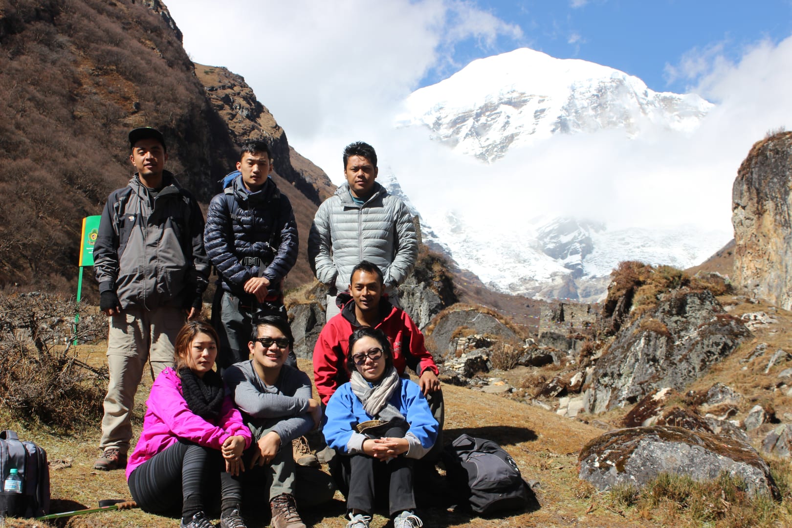
Jomolhari Trek: Everything You Need to Know
Named after Mount Jomolhari (7,326m), the sacred “Mountain of the Goddess” that dominates Bhutan’s northwestern landscape, the Jomolhari Trek is one of Bhutan’s most celebrated hiking routes. This nine-day journey takes you through some of the most spectacular scenery in the Himalayas, past nomadic settlements, high-altitude lakes, and into the heart of Bhutan’s pristine wilderness.
Why the Jomolhari Trek is Special
This trek offers close-up perspectives of Bhutan’s most sacred peak that few places on Earth can match. Mount Jomolhari rises like a white pyramid above the valleys, its snow-capped summit catching the first light of dawn and holding it long after the surrounding peaks have faded into shadow. Along the trail, you’ll experience traditional nomadic life in the Laya region, where families live as they have for centuries, moving their yaks between summer and winter pastures following rhythms that predate modern maps.
High-altitude lakes of such clarity they seem bottomless reflect the mountains that tower above them. Wildlife sightings are common—blue sheep grazing on improbable slopes, the elusive snow leopard leaving tracks in the snow if you’re exceptionally fortunate, Himalayan griffins soaring on thermals that rise from the valley floors. This is wild Bhutan, the Bhutan that exists beyond the roads and tourists, the Bhutan that has survived unchanged for generations.
| Detail | Information |
|---|---|
| Duration | 9 days / 8 nights |
| Distance | Approximately 80-90 km |
| Max Elevation | 4,890m (Nyile La pass) |
| Difficulty | Moderate to Challenging |
| Best Season | April-May, September-October |
| Accommodation | Camping |
Complete Itinerary
Day 1: Gunitsawa Village to Thangthangkha
Drive from Paro to Gunitsawa, about 1.5 hours through changing landscapes as the road ends and the trek begins. The distance covers twelve kilometers over five to six hours, climbing from 2,770 meters to 3,590 meters. The journey starts easily enough—you’re following the Pachhu River through conifer forests, with Mount Jomolhari appearing majestically ahead as you round a bend in the valley. First views of the sacred mountain stop everyone in their tracks, cameras coming out despite knowing that no photograph can capture the scale and presence of this peak.
The trail continues through pine and rhododendron forests alongside the river. In spring, the rhododendrons are blooming, splashes of crimson and pink against the dark green of the forest. Camp at Thangthangkha with Jomolhari towering above. The mountain seems close enough to touch from here, its snowfields gleaming in the afternoon light. Dinner is prepared by your support crew, and you’ll sleep under the shadow of the goddess herself.
Day 2: Thangthangkha to Jangothang
The distance extends to fifteen kilometers over five to six hours, climbing further to 4,040 meters at Jangothang. Continue up the Pachhu Valley, crossing several streams on log bridges. The trail becomes rockier as you ascend toward the base of Jomolhari, the valley narrowing as the mountains close in on both sides. Yaks graze in high alpine meadows, their shaggy coats and curved horns perfectly adapted to this harsh environment. These creatures carry supplies for trekking parties, and you’ll appreciate their steady presence on the trail.
Jangothang base camp offers incredible Jomolhari views—this is as close as most trekkers ever get to Bhutan’s sacred mountain. Remnants of old army posts dot the landscape, reminders of this region’s strategic importance on the border with Tibet. Overnight at camp with spectacular mountain vistas. The silence here is profound. Wind whipping off the glaciers, the distant roar of avalanches, the occasional call of a bird—these are the only sounds. Nights are cold at this altitude, but the clarity of the stars makes every shiver worthwhile.
Day 3: Jangothang Acclimatization Day
Today is a critical acclimatization day. Your body adjusts to 4,000 meters plus elevation before tackling higher passes. Rest is important, but so is gentle movement—hiking to higher elevations during the day and sleeping lower helps your body adapt to the thinning air. Take a short hike to Tshophu Lake at 4,400 meters. The water is so clear you can see stones on the bottom meters below. Visit nomadic herders’ settlements if they’re in the area. These families live in black yak-hair tents, moving with their animals between summer and winter pastures. They’re welcoming to visitors, often offering butter tea and a chance to see how life is lived at the roof of Bhutan.
Photography of Jomolhari at sunrise and sunset rewards the early riser. First light paints the snow-covered summit in shades of pink and gold. Sunset turns the mountain orange against a deepening blue sky. The changing light never gets old, each iteration more spectacular than the last.
Day 4: Jangothang to Lingshi
The most challenging day of the trek. Cover eighteen kilometers over seven to eight hours, climbing to 4,890 meters at Nyile La pass—the highest point of the trek—before descending to 4,010 meters at Lingshi. The climb to Nyile La is demanding but rewarding. Every step upward reveals new valleys and peaks, the horizon expanding until you can see across the Himalayas in every direction. The 360-degree panorama from the pass is extraordinary—Tserim Kangfoo (6,789 meters) and other snow-capped peaks stretch to the horizon in every direction, a sea of white against the deepest blue sky you’ve ever seen.
The descent into Lingshi Valley brings changing landscapes and vegetation. The first sight of Lingshi Dzong in the distance creates a striking image—a fortress perched on a hilltop, overlooking the valley like it has for centuries. Camp near Lingshi Dzong as you settle into the rhythm of trekking life. Each day follows the same pattern—early wake-up, hot tea in your tent, breakfast, walking through some of the most beautiful country on Earth, arrival at camp, hot meals, starlit sleep.
Day 5: Lingshi to Shodu
Seventeen kilometers over seven to eight hours, crossing Yule La pass at 4,620 meters before descending to 4,080 meters at Shodu. The trail becomes more remote and wild—you’re truly in the heart of the Himalayas now, days from any road, in landscapes that have changed little in millennia. Lingshi Dzong stands as an ancient fortress on a hilltop, its position chosen for strategic defense against Tibetan invasions. The dzong has been recently restored by the government, its white walls gleaming against the brown hills.
Blue sheep sightings are common in this area—these sure-footed creatures graze on impossibly steep slopes, their bluish coats blending perfectly with the rocky terrain. Watch for them on the ridges above, especially in the morning when they’re most active. Dramatic mountain landscapes unfold all day, every view competing with the last for your attention.
Day 6: Shodu to Barshong
Sixteen kilometers over six to seven hours, descending to 3,720 meters. The trail is easier today, a gradual descent through rhododendron forests and cascading waterfalls. Lovely river valleys appear around every bend. Changing vegetation marks the lower elevation as forests become denser and more varied. Temperatures become warmer, making for pleasant walking and comfortable camps.
Day 7: Barshong to Domango
Fifteen kilometers over five to six hours, further descending to 3,400 meters. Follow the Thimphu River downstream through dense forests that seem primeval—trees that have stood for centuries, covered in moss and lichen, filtering sunlight into a green glow on the forest floor. Wildlife opportunities increase—you might spot golden langurs in the trees, these beautiful monkeys with golden coats that seem to glow in the dappled forest light. Lush vegetation replaces the alpine meadows of earlier days. Hot springs near Domango offer natural geothermal warmth—perfect for tired muscles after days of trekking.
Day 8: Domango to Dodena
Eight kilometers over three to four hours, descending to 2,640 meters. Final descent to Dodena following the Thimphu River. The sense of accomplishment grows with every step downward—you’ve completed one of Bhutan’s great treks, crossed high passes, stood at the base of sacred mountains, and experienced wilderness that few people ever see. Changing landscapes from alpine to subtropical mark your return to lower elevations. Wildlife spotting opportunities continue as you move through different habitat zones.
Day 9: Dodena to Thimphu
Five kilometers by road over one to two hours, ending your trek in Thimphu. Drive to Thimphu and transfer to your hotel. A hot shower has never felt so good. Congratulations—you’ve earned it.
Physical Preparation
This trek requires excellent cardiovascular health. You need the ability to walk six to eight hours per day for nine consecutive days, often at altitude where every breath provides less oxygen than you’re used to. Previous experience with multi-day trekking is recommended, though fit beginners can complete this trek with proper preparation. No history of altitude sickness is essential—AMS (Acute Mountain Sickness) is unpredictable and dangerous, and previous susceptibility is a strong indicator of future risk.
Training should begin twelve to sixteen weeks before your trek. The first four weeks focus on building base fitness with three cardio sessions per week. Running, cycling, swimming, or hiking all work—anything that elevates your heart rate for sustained periods. Weeks five through eight add elevation. Hike hills or stairs with your pack weight, simulating the conditions you’ll face in Bhutan. Weeks nine through twelve build endurance through long hikes with weighted pack. Weeks thirteen through sixteen involve tapering—reduce training volume while maintaining intensity so your body is rested and ready when you arrive.
Altitude preparation is equally important. The itinerary includes rest days for acclimatization, but you can help the process by practicing hydration techniques before you arrive. Train yourself to drink three to four liters of water daily—the amount you’ll need on the trek. Pace yourself during training hikes. The tortoise beats the hare at altitude, and steady, slow progress wins every time. Know the symptoms of AMS—headache, nausea, fatigue, dizziness—and learn to distinguish them from normal fatigue.
Packing for Jomolhari Trek
Essential gear includes a sleeping bag rated to -15°C comfort. Nights at high altitude are cold even in summer, and you’ll sleep poorly without adequate insulation. A 70-90L backpack that fits well and has been broken in is non-negotiable. Trekking poles save your knees on descents and provide stability on rough terrain. Gaiters keep mud and snow out of your boots. A headlamp with extra batteries is essential—batteries drain faster in cold, and you’ll need both hands free in camp and before dawn starts.
Clothing follows a layering system. Base layers should be merino wool or synthetic—three or four sets. Avoid cotton, which stays wet and cold. Mid layers include two fleece jackets or pullovers and one down jacket for camp. Outer layers consist of a waterproof shell jacket with Gore-Tex or equivalent and waterproof pants. An insulated jacket with -10°C rating is essential for camp. Extremities need two pairs of socks (merino wool or synthetic blend), a warm hat, and insulated gloves.
Other essentials include water purification—a filter or purification tablets, since you can’t trust untreated water in this region. Sun protection with SPF 50+ sunscreen, hat, and sunglasses is non-negotiable at these altitudes. Lip balm with SPF is crucial—sunburned lips are miserable and slow to heal. Bring a comprehensive first aid kit including personal medications and blister treatment. Your guide should have most medical supplies, but carry your own backup. Pack a camera with extra batteries kept warm in your pocket—cold kills batteries quickly. A quick-dry microfiber towel serves for washing.
Wildlife & Nature
The Jomolhari region teems with life that has adapted to extreme conditions. Blue sheep, or bharal, are common in the Lingshi area. These sure-footed creatures graze on steep slopes where predators can’t follow, their bluish coats providing perfect camouflage against rocky terrain. Snow leopards are the holy grail of Himalayan wildlife sightings—rare but possible, especially around Jangothang. You’ll probably see only tracks if you’re fortunate, but the possibility adds excitement to every ridge line scan. Himalayan marmots stand on their hind legs and whistle from rocky outcroppings. Golden langurs inhabit lower forests, their beautiful coats glowing in filtered forest light. Birds abound—Himalayan griffins soaring on thermals, monal pheasants with iridescent plumage, lammergeiers (bearded vultures) riding the updrafts.
Flora changes with elevation. Rhododendrons are spectacular in April and May, blooming in reds, pinks, and whites that transform hillsides into gardens. Blue poppies, Bhutan’s national flower, appear in late spring—rare and ethereal, they seem too delicate to survive at these altitudes. Primulas and other alpine flowers carpet meadows in summer. Medicinal plants like juniper, gentian, and angelica grow throughout the region, harvested by local healers for traditional remedies.
Cultural Highlights
The Lingshi region is home to semi-nomadic yak herders who live much as their ancestors did. Their black tents are made from yak wool, woven tightly enough to shed rain and snow but breathable enough for summer warmth. Yak butter and cheese are essential staples—calorie-dense foods that sustain families through long winters. Their traditional lifestyle has changed little in centuries. These families move between summer and winter pastures, following their animals to grazing that changes with the seasons. They’re welcoming to visitors who approach with respect, often sharing butter tea and stories of life at the roof of the world.
Lingshi Dzong stands as an ancient fortress built in the 17th century. Its strategic location once guarded against Tibetan invasions, and the dzong’s position on a ridge overlooking the valley demonstrates why this location was chosen. The dzong has been recently renovated by the government, its white walls and golden roofs gleaming against the brown hills. A small community of resident monks maintains the sacred traditions that have continued here for centuries.
Difficulty Assessment
What makes this trek challenging? High elevation is the primary factor—several passes exceed 4,500 meters, and much of the trek is above 4,000 meters. Long days of seven to eight hours require sustained effort over rough terrain. The trail is remote with no settlements and no emergency access once you leave Paro. Weather in the mountains changes quickly—a sunny morning can give way to snow by afternoon. Perhaps most challenging is the sustained effort required—nine consecutive days of trekking with no real rest days, pushing your body through discomfort toward distant goals.
The Jomolhari Trek is easier than the legendary Snowman Trek, which is much longer and features higher passes. It’s harder than most European alpine treks due to higher elevation and more remote conditions. Compared to the Druk Path Trek between Paro and Thimphu, Jomolhari is longer and more challenging, though both share similar terrain types.
Best Time to Trek
Spring from April through May offers rhododendrons in bloom, clear skies, and mild daytime temperatures. Nights are cold, dropping to -10°C to -15°C, and snow on high passes is possible. But the flowers and relatively stable weather make this a popular time.
Autumn from September through October provides the best visibility and stable weather. Comfortable temperatures during the day make for ideal trekking conditions. This is peak season, though, so book well in advance and expect to share campsites with other trekkers. By late October, it’s getting colder and winter is coming.
Cost Estimates
Per person costs for nine days of trekking vary widely depending on the level of service and equipment quality. Budget options run approximately $660 total, including guide at $35 per day, assistant guide at $20 per day, cook at $20 per day, porters at $15 per day, horses at $25 per day, camping equipment at $15 per day, food at $20 per day, and park fees at $10 per day. Mid-range options total around $1,050 for the same nine days, with higher rates for guides, assistant guides, cooks, porters, horses, and equipment. Premium options reach approximately $1,440 with the best available guides, equipment, and services.
Plus the SDF of $100 per day for nine days equals $900 for international visitors. This mandatory fee is in addition to trekking costs.
Tips from Our Guides
Break in your boots thoroughly before arriving. Blisters ruin treks that should be magical. Carry a comprehensive blister kit with moleskin or Compeed—treating hot spots immediately prevents them from becoming trip-ending problems. Pace yourself. The tortoise beats the hare at altitude, and slow, steady progress is always better than pushing too hard and regretting it. Drink more water than you think you need—four liters minimum daily. Altitude dehydrates you faster than you realize, and dehydration mimics and worsens AMS symptoms.
Eat even if you’re not hungry. Your body needs calories for energy, and appetite often decreases at altitude. Bring entertainment for evenings—cards, a book, or a Kindle. Days end early in camp, and you’ll appreciate having something to do beyond staring at the tent walls.
Safety & Emergencies
Altitude sickness is the primary risk on this trek. Several passes exceed 4,500 meters, and the threat of AMS is real and serious. Prevention includes slow ascent, which this itinerary is designed to provide. Stay hydrated, recognizing symptoms early, and never push through worsening AMS. Symptoms range from mild—headache, nausea, fatigue, dizziness—to severe. HACE (High Altitude Cerebral Edema) and HAPE (High Altitude Pulmonary Edema) are life-threatening conditions requiring immediate descent.
Emergency protocols are in place for every trek. Guides carry satellite phones for communication. Helicopter rescue is possible but expensive and often impossible due to weather and terrain. All guides are trained in wilderness first aid. Comprehensive trekking insurance that covers high-altitude evacuation is essential—don’t count on your standard travel policy to cover these specialized emergencies.
Why Choose Silverpine for Jomolhari Trek?
Our advantages come from years of experience on this specific route. All our guides have ten-plus years experience leading the Jomolhari Trek—they know every trail, every campsite, every variation in weather patterns. We use quality equipment with modern tents and warm sleeping bags that make the difference between misery and comfort at high altitude. Our cooks prepare delicious meals that restore energy after long days—trekking food doesn’t have to be boring, and we prove it every evening. Safety comes first with comprehensive emergency protocols and guides trained to recognize problems before they become crises. We keep groups small with maximum eight participants—more intimate, more flexible, more personal. We practice responsible tourism that supports local communities and protects this fragile environment.
The Jomolhari Trek is a once-in-a-lifetime experience. The combination of stunning mountain scenery, remote wilderness, and rich cultural heritage makes this one of the world’s great treks. Standing at the base of sacred Mount Jomolhari, watching light play across its snow-covered summit, you’ll understand why this mountain has been revered for centuries. You’ll carry these views home, tucked away in memory, returning to them whenever the world feels too small or too loud.
Contact us to plan your Jomolhari adventure—we’ll make sure it’s safe, comfortable, and unforgettable!